We’re often asked what other activities there are to do around Craig if you’re not fly fishing, and hiking is at the top of the list for many. Unfortunately the Missouri River is surrounded by private land and hiking on Federal Lands is an hour or more away. But we do have a few local hiking spots, including our two local State Parks, the First Peoples Buffalo Jump in Ulm, and Tower Rock at the Hardy Creek Exit between Prewitt Creek and Pelican Point.
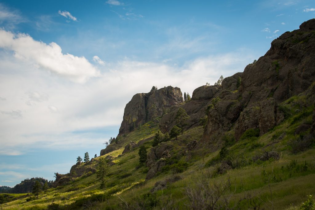
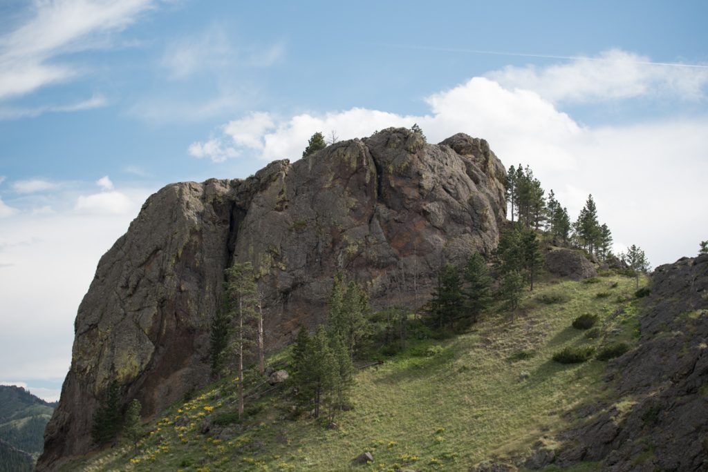
If you’ve ever fished the lower Canyon Tower Rock has caught your eye. It’s a massive 400 foot high rock that is right at the Hardy Creek bridge on I-15. Nearly everyone has floated by it, but not many visitors make the quick hike up it.
CLICK ANY OF THE IMAGES TO ENLARGE…
Tower Rock has only recently become a State Park, though there is a long history of public use. The parking area is right near the Hardy Creek exit and the transfer station (dump). There are outhouses, parking and several interpretive signs. The rock was formally named by the Lewis & Clark Expedition in 1805. Here is an excellent article from the Billings Gazette about the park.
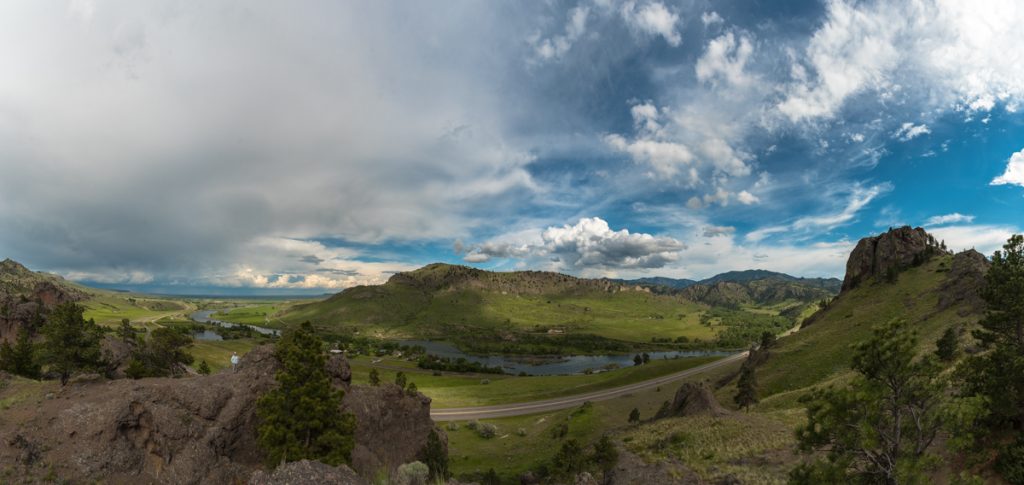
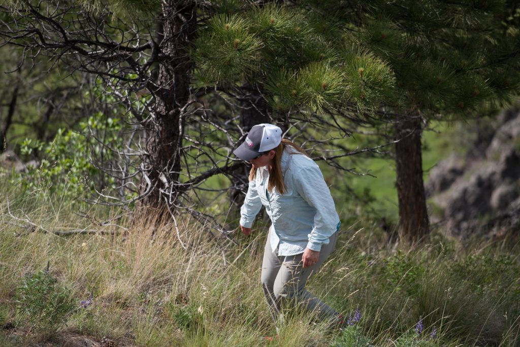
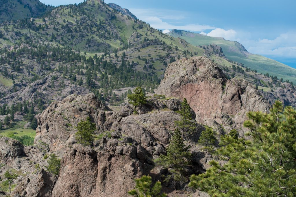
Panoramic shot from “the saddle’ at the midway point and end of the formal trail. you can see Tower Rock itself on the right, Hardy Creek Rapids in the center, and Julie exploring some rock formations on the left.
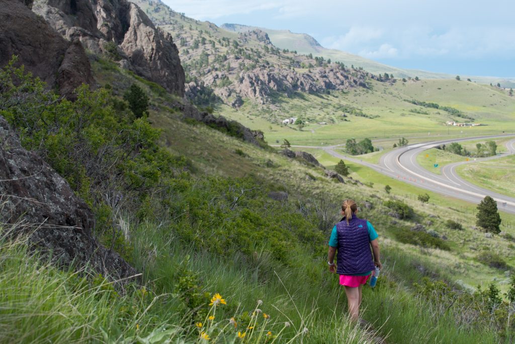
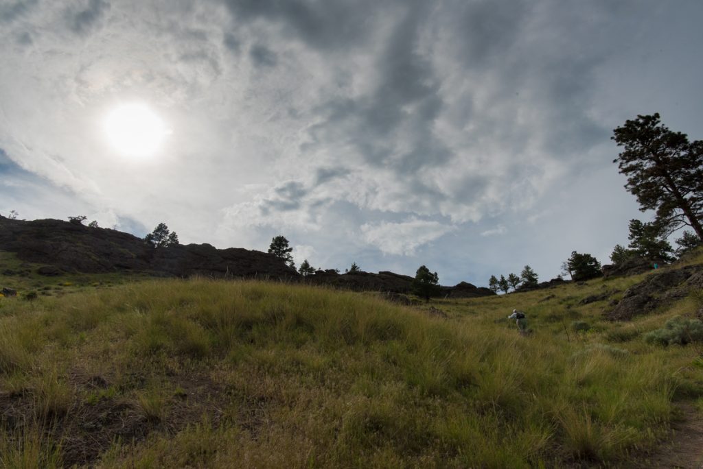
The hike up is short, but there is a steep section that require a bit of stamina and some decent shoes. I wouldn’t wear flips in this one. You begin with a half mile section with little gain that parallels the Freeway. After that, you head straight up a bowl to the saddle at the midway point. There a great spot to stop and rest, take in the view and drink some water. Definitely bring along some water if it’s a warm day. Also keep an eye out for Rattlesnakes, especially if you brought your dog along.
From the saddle you can head south (take a left) and scramble up a rocky spine to the base of the rock itself. At this point you’re only a few feet from the “summit” but I’ve never seen a way up to the top. At least not one I could get down from. 30 years ago, yes. Today, the views good enough from the base.
From this point you can continue south, going down then up to the top of a massive cliff overlooking the river. Here, you’re right above the big pool and rock immediately above the freeway bridge. It’s a great view from here to the south, and the coolest spot on the hike in my opinion.
If you’re simply doing this for the exercise, you can knock out a quick up and down to the saddle in less than an hour. If you want to continue up and out to the cliff edge, I’d probably give myself 2 hours for a little hang out time. There’s some pretty interesting geology here (read all about it), and some great views. It’s not a wildlife viewing spot, but you’ll likely see some deer, and there’s usually some Bighorn Sheep hanging around, though I’ve never seen them on the trail side of the ridge. Raptors are also possible.
While it’s not an all-day adventure, it could be combined with a trip to Ulm and the First Peoples Buffalo Jump or the Nature Conservancy’s Crown Butte (we’ll get to that another time). It’s short enough that exercise nuts and nature lovers could actually hike Tower Rock before or after a guide trip.
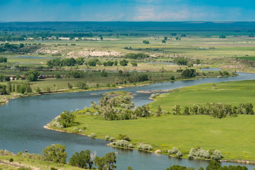
Below: an interesting view of the Pelican Point area and the Chestnut Valley beyond.
If you’re not sure how to get there, just ask any of our staff. It’s very easy to find. If you floated the Missouri River for years – but never climbed up Tower Rock – you should give it a go. Just to say you did. It’s also a great hangover cure before a long day of fishing.
Right now the weather is perfect for a hike up nearly any time of the day, but watch out for afternoon lightning storms. Sunrise is beautiful. During the heat of mid-summer I probably would do it in the morning only.

