The Montana Boat Line. An Introduction. Available at Headhunters Fly Shop Craig Montana.
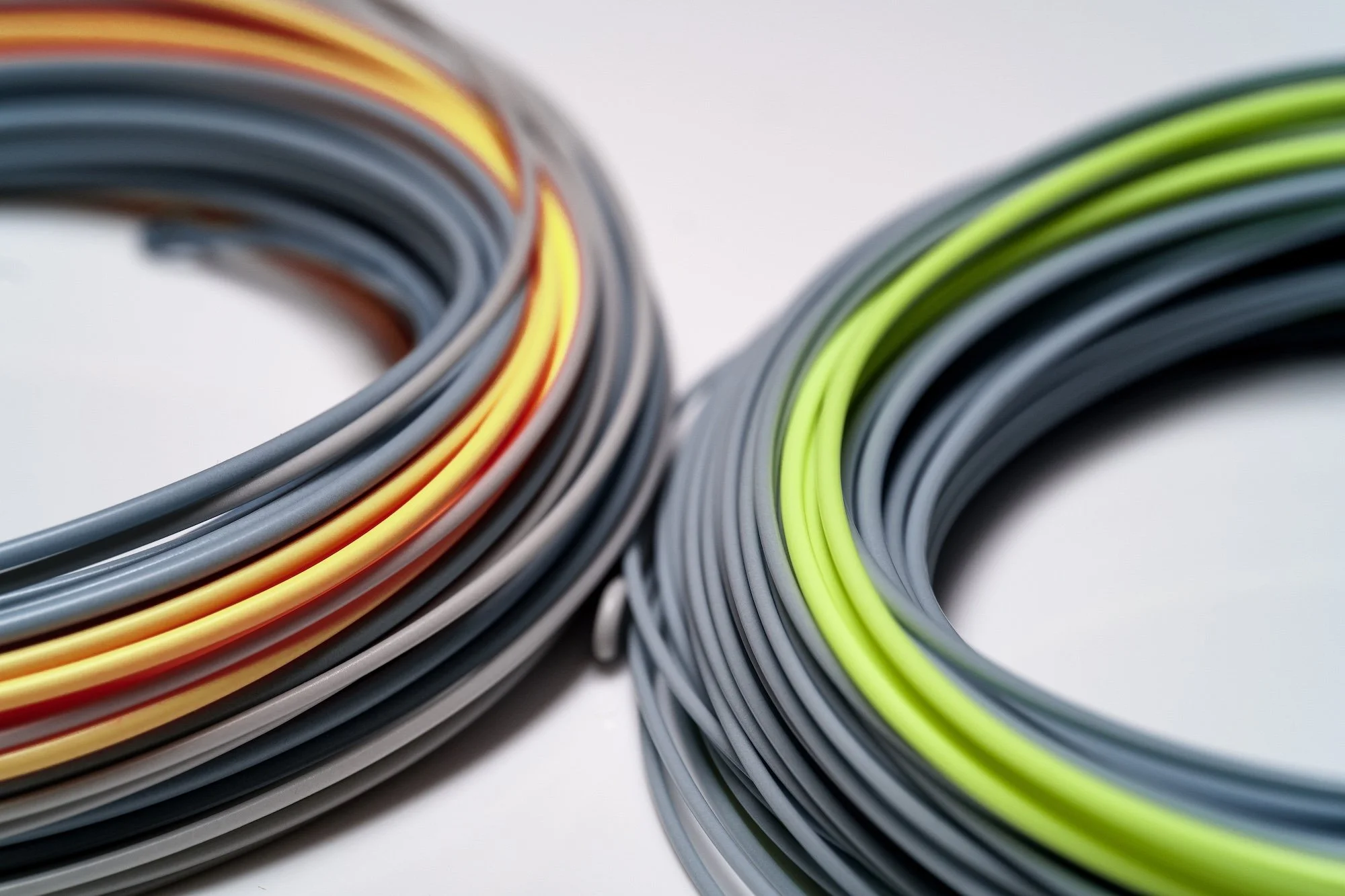
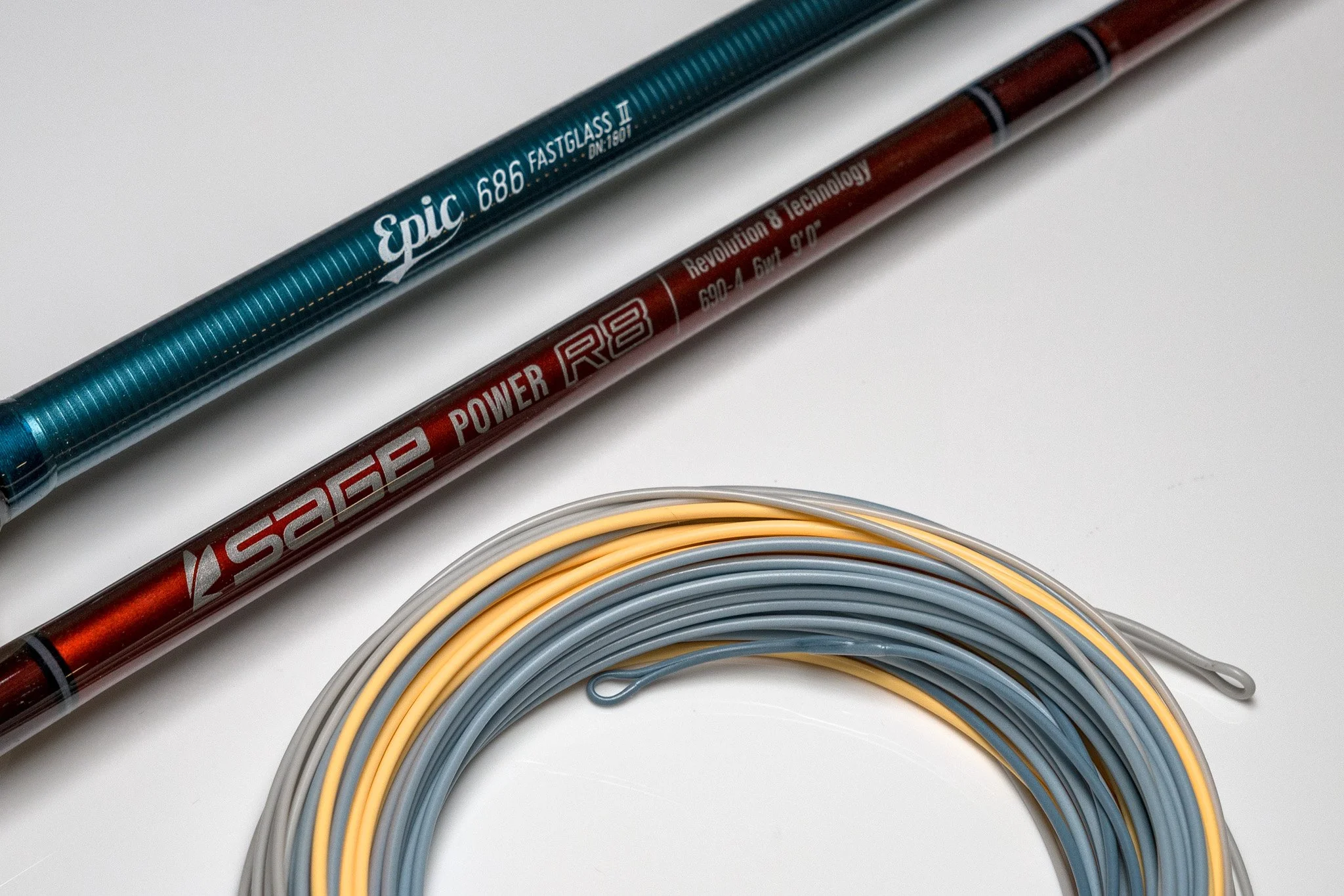
The Montana Boat Line from Headhunters Fly Shop in Craig Montana. Built for boat anglers, crafted by RIO, enjoyed by all! Available only at CraigFlyShop.com or in store at Headhunters Fly Shop in Craig Montana!
Mid-Week Fishing Report Montana’s Missouri River
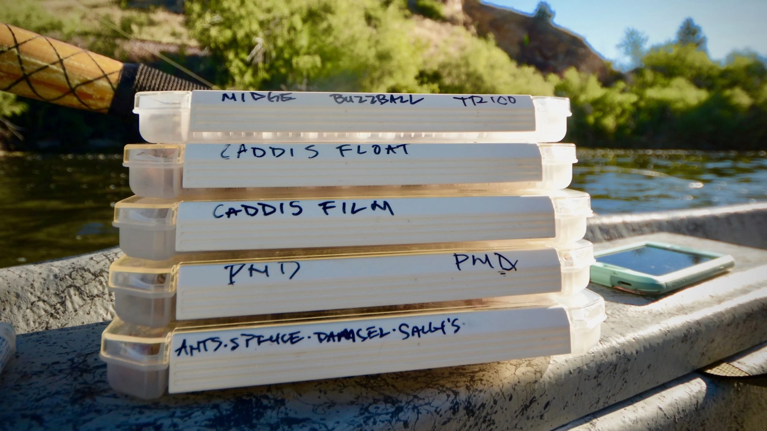
Soon we will be able to fish many of these fly boxes here today on Headhunters Fly Shop Blog and Fishing Report. Good to great fishing on the horizon fishing into the mo the of May and June. Headhunters Fly Shop open daily 7am
Shuttle Staff Needed at Headhunters of Craig. Inquire TODAY!
Shuttle Drivers Needed starting today! Call the shop 406-235-3447 ext 2 ask for Derek. Good pay and flexible hours and fly shop discounts.
Quick Hit Fishing Report Montana’s Missouri River
Spring Fishing Report from Headhunters Fly Shop in Craig Montana. Open daily 7am.
What We Do.
-

Guided Fly Fishing
Guiding is our foundation, and owners Mark Raisler and John Arnold have decades of experience guiding, and are committed to providing our customers with great guides and experiences.
-

Fly Shop
Our small and funky shop has everything you need for a day on the water. More importantly, our knowledgeable staff will answer your questions and get you headed out in the right direction.
-

Lodging
There are plenty of trout in the Missouri River, but not nearly enough accommodations for all of the anglers here to catch them. Let Julie help you find the right accommodations for you or your group.
-

Shuttles
Our shuttle service will move your vehicle from put-in to take-out while you’re floating and fishing the Missouri River. We operate the largest shuttle service on the river, and will help make your float easy.
-

Rental Boats
We rent Adipose Drift boats built locally in Helena, MT, and designed for big rivers like the Missouri. Rental boats often get booked well in advance during the summer, so make plans ahead of time.
-

About Us
We don’t judge our shop by the products we carry. And we definitely don’t judge it by size. Our shop staff and guides are what makes us, along with the community of anglers that make Headhunters their base.
HEADHUNTERS FLY LINES

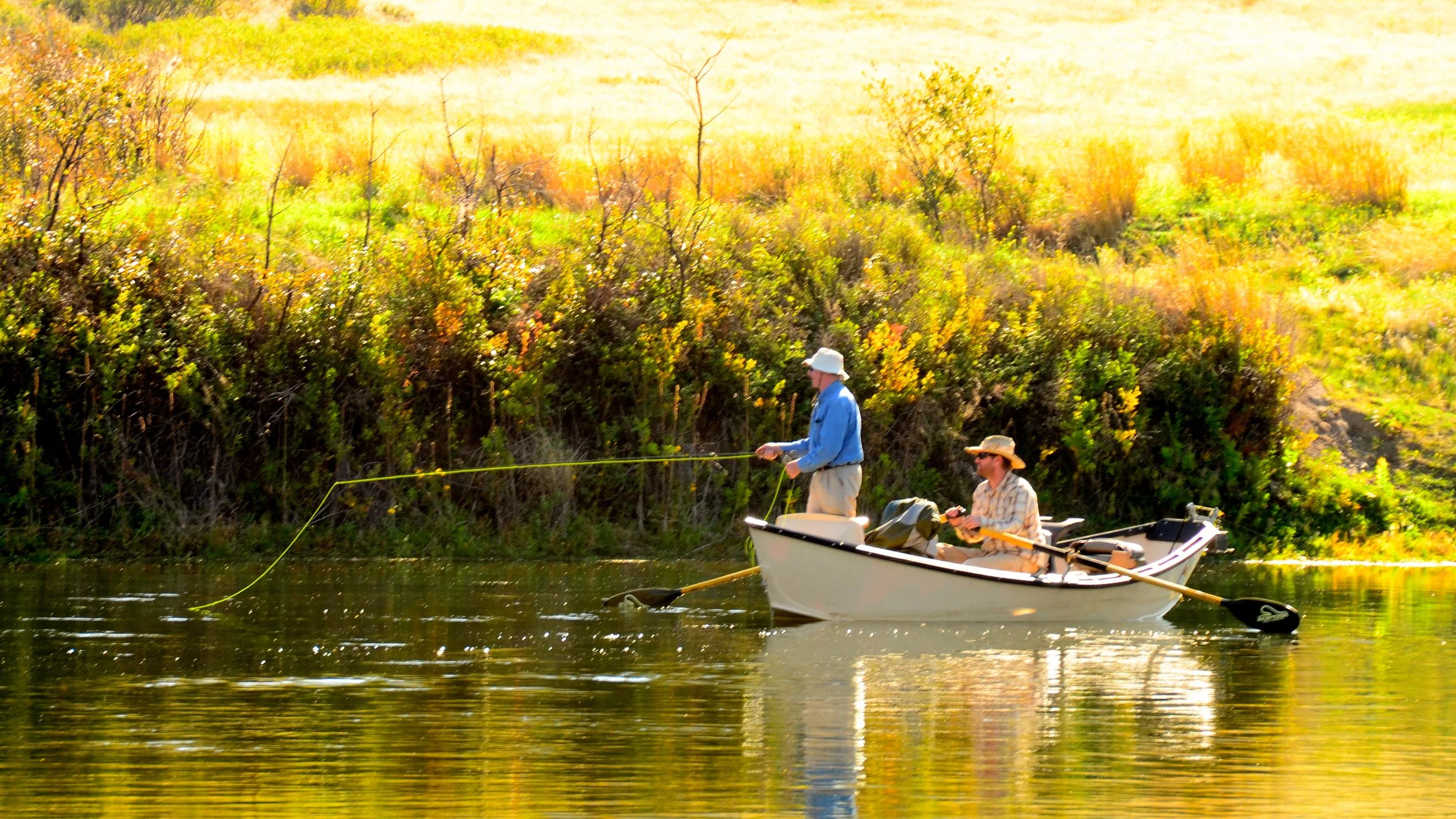
Our Headhunters series of fly lines are designed in-house by Mark Raisler and the rest of our team. Working with the line designers at RIO, we’ve developed two unique tapers that we felt were missing from available lines. Designed to cover most of the situations we find on the Missouri and other Western rivers, these are the lines we use every day whether guiding of fishing ourselves. When we’re targeting risers that require long, accurate and delicate presentations, we use our technical dry fly line, the incredibly popular HEADHUNTER 2. If we’re chasing an indicator down the center of the river, or probing the flats and banks with a dry dropper rig, we use our all new MONTANA BOAT LINE.


